Snoqualmie Mountain and (not) Lundin Peak
July 21, 2001
My plans with Russ to climb Mt. Baker were displaced by poor weather: Both
outside and my wife (as in feeling under the weather). So we decided to day hike
up Snoqualmie Mountain. To make it a bit more interesting, I suggested that we
traverse the east ridge of Snoqualmie to the West Ridge of Lundin, a short 4th
class climb on reportedly good rock.
I hadn't made this traverse before, but I'd looked at it many times. I scoped
out the map and saw that just by staying on or near the ridge crest we would be
able to make it to Lundin. I put together a small rack and grabbed a short
scrambling rope.
We met at PCC for breakfast and then headed up to the pass. Just past Denny
Creek we entered the cloud cover. We arrived at the Alpental lot at 10:30. It
was burgeoning with cars. We got ourselves together and started up the trail at
10:45.
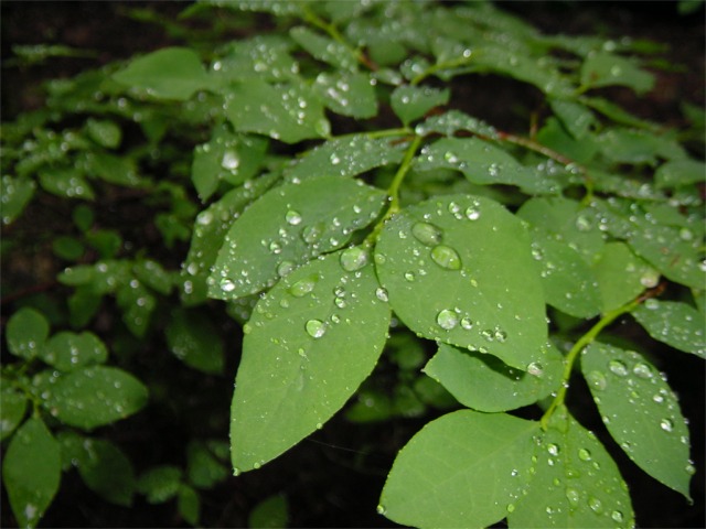
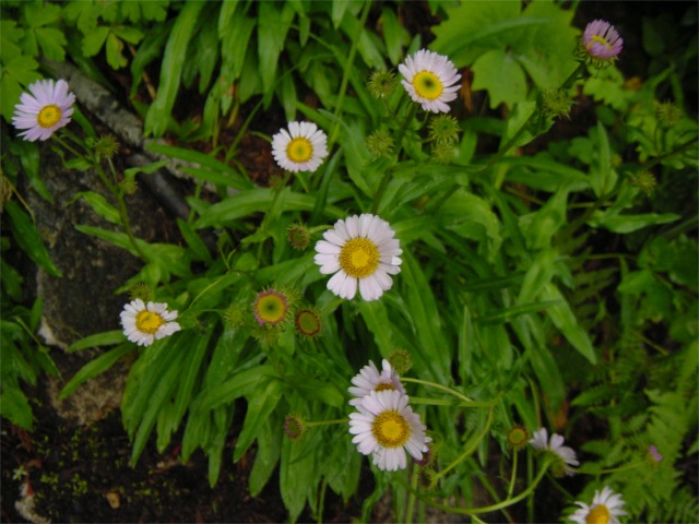
The brush was wet in the dewy, cloudy morning. I stopped and snapped a few
pictures of dew drops glistening on leaves, like little diamonds.



Russ and I were both feeling the effect of our PCC breakfasts. Neither of us
could seem to get in gear. So we took it east, making many brief stops.
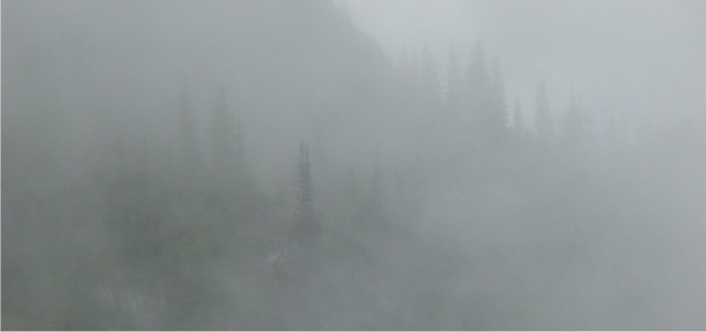
Eventually we broke out of the trees and onto the south shoulder of Snoqualmie.
For a few moments the clouds parted and we could see a bit. But not very much
and not for long.


Near the top we passed a couple people coming down. It was their first time
on Snoqualmie and they reported very low visibility at the top. We continued up
and arrived at the summit at 12:25 PM. It was actually quite pleasant on top,
lots of radiant energy coming through the clouds and no wind. we sat down and
made ourselves comfortable. I ate and drank and studied the map. Getting the
Lundin seemed obvious to me, even in fifty feet of visibility. Little did I know
that we were about the enter the Enigma
Range.

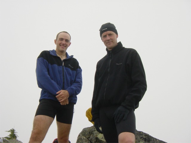
Russ and Loren on Snoqualmie

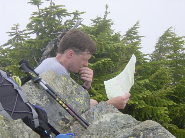
Russ studies the map on the summit

At 1:22 PM we walked away from the summit. we dropped into the basin north of
the jagged eastern summit ridge, first on frighteningly loose rock, then on step
(but thankfully soft) snow. We traversed along, staying just below the crest of
the east ridge, or so I thought.

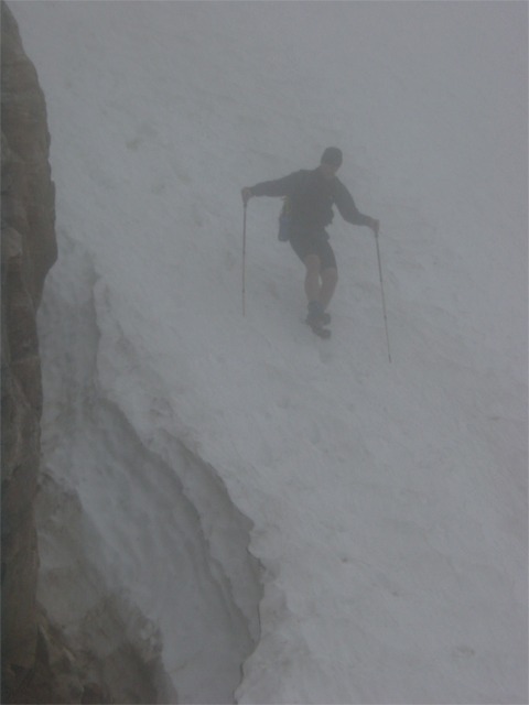
Russ downclimbing steep snow in poor visibility.

At some point I pulled out the map and realized that I was 180 degrees
disoriented. This is where the fun began (and I now believe we made a key
mistake). We started wandering around trying to find the ridge crest on what was
increasingly looking like a broad slope. Eventually we found what seemed to be a
ridge running in the correct direction. Not inclined to make the same mistake, I
tried to stay on the crest of the ridge. The led to some interesting
downclimbing on steep, brush covered slopes, but we persevered. At this point we
were on the crest of the ridge and moving due east. I was convinced that we were
headed in the right direction.
We crested over a small hump, which I thought I could identify on the map. I
think expected that we'd drop down the ridge to a narrow, long saddle at 5800',
leading directly to the West Ridge of Lundin. We started down and down and down.
At 5800' we came across two very distinctive towers on the ridge. But it kept
going down. It was now 3:30, two hours after we'd left the summit of Snoqualmie.
Below the towers it became clear that we'd erred. We dropped out of the clouds
and could see a beautiful valley and drainage below us. At first we surmised
that we'd somehow missed Lundin in the mist and were now looking at the
Commonwealth Basin. We saw a small pond below us near what looked to be Red
Pass. Yep, it check out on the map. Well, we didn't climb Lundin, but at least
we weren't completely lost. Still, something didn't feel right.
We dropped into the basin on a faint trail. We walked a dry creekbed to
beautiful flat area. Odd sinkholes belied the presence of caves in the area.
This should have been a big clue, but I didn't get it.

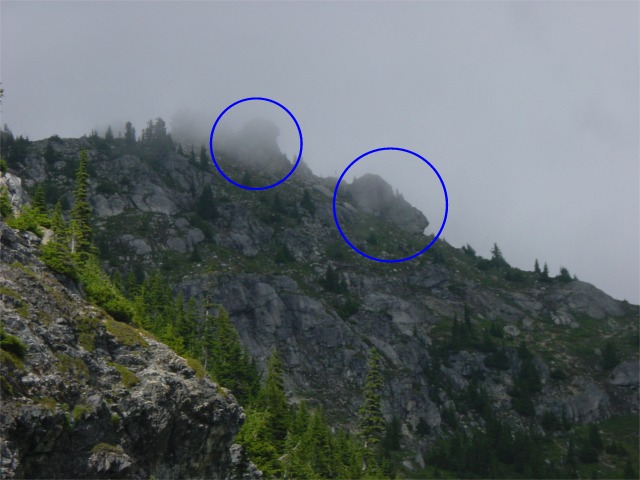
Looking back up at the ridge we came down. The distinctive rock towers are
circled.

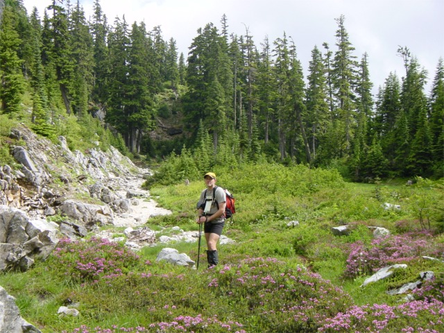
"Wrong-way" Loren on cave ridge (though I didn't know it at the time).

We continued down along the seldom-used trail, losing it now and then in the
trees or under windfall. Then suddenly the trees opened up and I was staring
across another valley. What I saw was so surprising that it took a few seconds
to sink in. In fact, when my subconscious first suggested it my conscious
dismissed it outright. The I saw the lift towers. And Shot Eight. It was
Alpental. We were on Cave Ridge. After walking and stumbling around for almost
three hours we ended up 100 yards from the trail we'd walked up in the morning.
I had been thoroughly humbled by the Enigma Range.
We made a half-hearted attempt to traverse the low route on Cave Ridge, but
decided to turn around and walk down the trail, tails between our legs.
It was after 4:00 when we got back to the lot. I just kept looking up at
Snoqualmie and shaking my head. I couldn't help but laugh at myself and my
arrogance. The night before I'd contemplated bringing a GPS receiver with some
waypoints to follow. But after looking at the map I dismissed the idea, "It
doesn't get much simpler than that. All we have to do is walk down the
ridge."
Silly boy.

_lundin.htm_cmp_cascadeclimber010_bnr.gif)
